| 插件名称:WorldComposer 1.61 | 插件官网:访问官网 | | 版权协议:Red pine1.1 | 解压密码:通用密码 |
WorldComposer 1.61 unity3d编辑器,真实世界的地形创建工具 卫星图像的工具
WorldComposer系列索引:
WorldComposer 1.4 下载链接
WorldComposer 1.4.5 下载链接
WorldComposer 1.4.8 下载链接
WorldComposer 1.5 下载链接
WorldComposer 1.85 下载链接
WorldComposer
真实世界的地形创建工具 卫星图像的工具
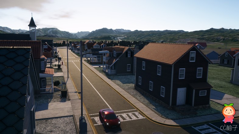
真实世界的地形创建工具 卫星图像的工具
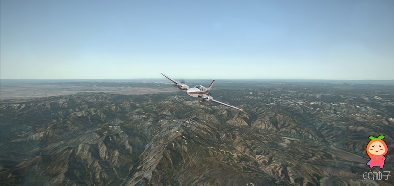
真实世界的地形创建工具 卫星图像的工具

真实世界的地形创建工具 卫星图像的工具真实世界的地形创建工具 卫星图像的工具 ... ... ... ...

真实世界的地形创建工具 卫星图像的工具
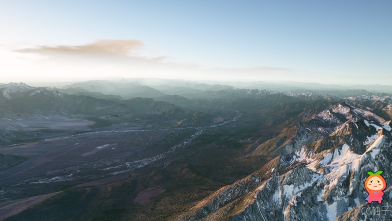
真实世界的地形创建工具 卫星图像的工具
真实世界的地形创建工具 卫星图像的工具
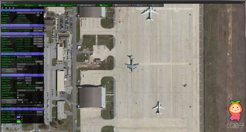
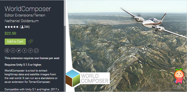
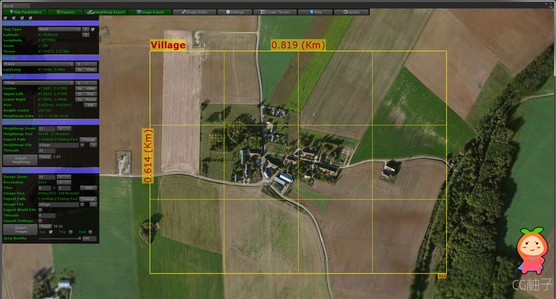
WorldComposer is a tool to extract heightmap data and satellite images from the real world. It can run as a standalone or as an extension for TerrainComposer.
Compatible with Unity 5.1 and higher, 2017.x and 2018.x
Its powerful features let you create high resolution AAA quality real world terrain with a few clicks.
For a quick overview of the main features I recommend to watch the WorldComposer trailer.
WorldComposer trailer
I invented a shadow removal algorithm that can make the satellite images shadow free. Shadows in imagery are problematic and removing them makes a huge difference in terrain rendering quality. Instead of having a fixed sun position to fit with the satellite images shadows, you can have day and night cycles.
Tutorial video's:
* Getting started.
* Huge multi-resolution terrains (like in the showcase videos).
* Shadow removal.
Features:
- Works with Unity Pro and Free, also on Mac.
- Elevation Heightmaps resolution of max 10 meter per pixel.
- Satellite images resolution of max 0.25 meter per pixel. Jpg/png/raw format supported.
- Content aware fill to remove shadows, snow, etc. from combined raw images.
- Create huge multi-resolution terrains with different layers of detail. - Combine raw images to 1 big raw image. E.g. for editing in Photoshop.
- Split combined raw file into tiled images.
- Create terrains directly from exported areas with a click of a button.
- 3 different satellite images types, Aerial, Aerial with labels and roads.
- Global coverage.
- Convert ArcInfo ASCII heightmaps to 16 bit raw grey scale heightmaps.
- Create unlimited regions and areas and export any heightmap size or amount of image tiles.
- Export multiple areas.
- Scroll interface like Google maps.
- Exporting is Multi-Thread.
- Automatic version update inside WorldComposer.
- Works with TerrainComposer (as an extension).
- Works with RTPv3 and Horizon[On] (Optional).
|
|